Now loading.
Please wait.

Menu

Climate Change, GIS and VBD Stratification/ Mapping

HomeResearch DivisionsClimate Change, GIS and VBD Stratification/ Mapping
single image

Climate Change, GIS and VBD Stratification/ Mapping

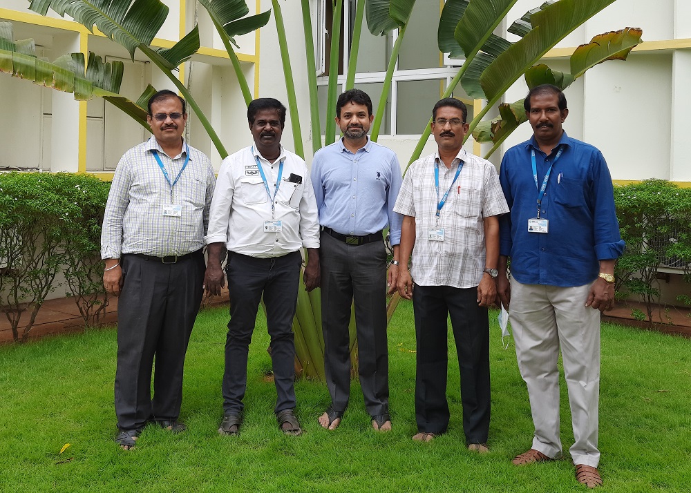
Head of the Division: Dr. K. Hari Kishan Raju

The Division of Climate Change, GIS & VBD Stratification / Mapping covers study in areas related to human health challenges, such as epidemics and endemics of vector-borne diseases based on environmental and climate change, global warming, shifting weather patterns, and changes in land use and land cover patterns. These research activities as well as the creation of disease forecasting and modelling components make use of remote sensing (RS) and geographic information systems (GIS) techniques and technologies.

Objectives

  • To create disease distribution maps and update databases on GIS platform.
  • To study climate change and geo-environmental-health connectivity.
  • Identification of geo-environmental risk factors which are influencing vectors and disease patterns.
  • Risk areas identification and risk map creation for different VBD’s.
  • Development of disease forecasting and prediction models.
  • Real time spatial and temporal situation analysis and mapping of VBD’s.
  • Providing training for capacity building in usage of new tools and technologies.

Research Areas

LF, Dengue, JE, Malaria, KFD, Scrub typhus and other vector borne diseases (VBD’s) Disease mapping, monitoring disease distributions, disease forecasting and prediction models.

Staff List
Sr. No.Name of the staffDesignation
1Dr. K. Hari Kishan RajuHOD & Technical Officer-C
2Mr. R. KrishnamoorthyTechnical Officer-C
3Mr. M. StalinSenior Technician (2)
4Mr. N. Ramesh  Laboratory Assistant-1
Ongoing Projects

Ongoing Projects

  • Development and validation of dengue risk map of India using remote sensing and geographical
    information system.

  • Mapping and risk assessment on KFD expansion in Western Ghats, India.

  • Disease burden estimation and projection: Malaria mapping in India.

  • Mobile Mosquitoes - understanding the entangled mobilities of humans and Aedes mosquitoes in Mexico, Tanzania, India and Germany.

Significant research findings/contributions
  • Developed Geo-Environmental Risk Model (GERM) for creation LF transmission risk map of India. To help the strategy of the global program to interrupt transmission of lymphatic filariasis (LF) using mass drug administration (MDA). The GERM developed on geographic information system (GIS) platform for LF spatial delimitation and a national LF elimination program to identify the areas at risk for intervention and for undertaking surveillance in no-risk areas.
  • Environmental determinants that influence the occurrence of JE have been identified, and based on that, a conceptual frame for Japanese encephalitis (JE) transmission was developed. The concept of endemic and epidemic has been defined using cluster analysis on JE occurrences in 175 districts over a period of 53 years in India. The endemic and epidemic districts are identified for regular monitoring of vector population and viral activity and implementing appropriate integrated methods of vector control that are likely to reduce the transmission, besides the selective immunization of children.
  • Forecasted Japanese Encephalitis Vector Abundance in Paddy Growing Area, with the Aid of Radar Satellite Images: JE Vector mosquitoes breed mostly in rice fields, and human cases occur scattered over extended rural rice-growing areas. This ecological connection with the irrigation facilities and paddy cultivation, found that, at a particular stage of paddy growth was a premonitory sign that lead to a markedly increased population of the vector mosquitoes. A significant positive correlation was observed between r0 (Satellite image analysis values) and paddy growth stages (r = 0.87, p < 0.05) and adult vector density (r = 0.74, p = 0.04). The r0 value observed during the vegetative and flowering stages of paddy growth ranged from -17.6 to -17.16, at which period the vector density started building up. This is the spectral signature that denotes the ‘‘risk,’’ following which a high vector abundance is expected during heading stage of the paddy.
  • Providing real time Spatial and temporal dengue case distribution maps to Pondicherry Health authorities and local NVBDCP for the last 5 years to take timely action and identify the hotspots.
  • Engaging in capacity building and the identification of new research initiatives as part of the ICMR Capacity Building for Disease Estimation and GBD initiative.
  • Future Plan: VBD transmission and dissemination are already being impacted by climate change, and these consequences are only going to get worse. This Division is already engaged in the identification of the primary climate change-related factors that affect VBDs and involved in the development of forecasting and risk models for VBDs. Further,the division is strengthening these efforts with state- of-the-art tools and technologies for a deeper comprehension and appropriate model development. Finally, this will enable health officials to draw boundaries and implement the appropriate control measures.
All for Joomla All for Webmasters